Lagos State is the smallest state in Nigeria, with a total land area of 3,475 square kilometres (1,342 square miles).
However, the state contains the largest urban area in Nigeria, the City of Lagos.
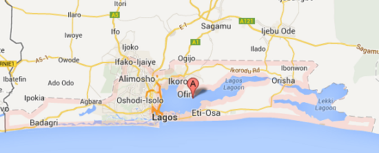
Geographically, Lagos state shares its northern and eastern boundaries with Ogun state, its western boundary with Republic of Benin, and its southern boundary with the Atlantic ocean.
Map of Lagos State
Lagos state comprises 20 local government areas, namely:
- Alimosho
- Ajeromi-Ifelodun
- Kosofe
- Mushin
- Oshodi-Isolo
- Ojo
- Ikorodu
- Surulere
- Agege
- Ifako-Ijaye
- Shomolu
- Amuwo-odofin
- Lagos Mainland
- Ikeja
- Eti-osa
- Badagry
- Apapa
- Lagos Island
- Epe
- Ibeju-Lekki